

Hundreds of Mendocino Coast Homes Face Sea Level Rise Threat, Study Finds
710 residential buildings could be lost by 2100

A new county-commissioned study projects that the number of coastal residential buildings vulnerable to sea level rise will increase more than tenfold by the end of the century, with bluff erosion posing the greatest threat to homes perched along Mendocino’s rugged shoreline.
The Sea Level Rise Resilience Strategy for Mendocino County, prepared by environmental consulting firms ESA and ARUP and funded by the California Coastal Commission, found that 55 residential buildings along the county’s coast face exposure to coastal hazards today. That number is projected to climb to 286 by mid-century and reach 710 by 2100 under the scenario of a 6 feet increase in sea level.
The 286 figure is roughly equivalent to the 254 single-family homes in Potter Valley, an inland agricultural community in Mendocino County that is facing a dramatic increase in the cost of water due to the decommissioning of the Potter Valley Project and removal of Scott Dam. The comparison underscores the rising risk of displacement and its spread around the county, with the impact from climate change particularly acute on the coast.
“Across all asset categories, the vulnerability and risk assessment highlights that Mendocino County’s exposure to coastal hazards is widespread and diverse,” the report states.
Bluff Erosion is the Primary Threat
The study, released in April 2026 as a preliminary draft, divides the county’s 100-plus miles of coastline into 12 planning zones stretching from the remote Lost Coast in the north to Anchor Bay and Gualala near the Sonoma County line.
By the end of the century, the communities of Anchor Bay and Gualala and the Elk area face the highest residential exposure, with 112 and 111 residential buildings at risk, respectively.
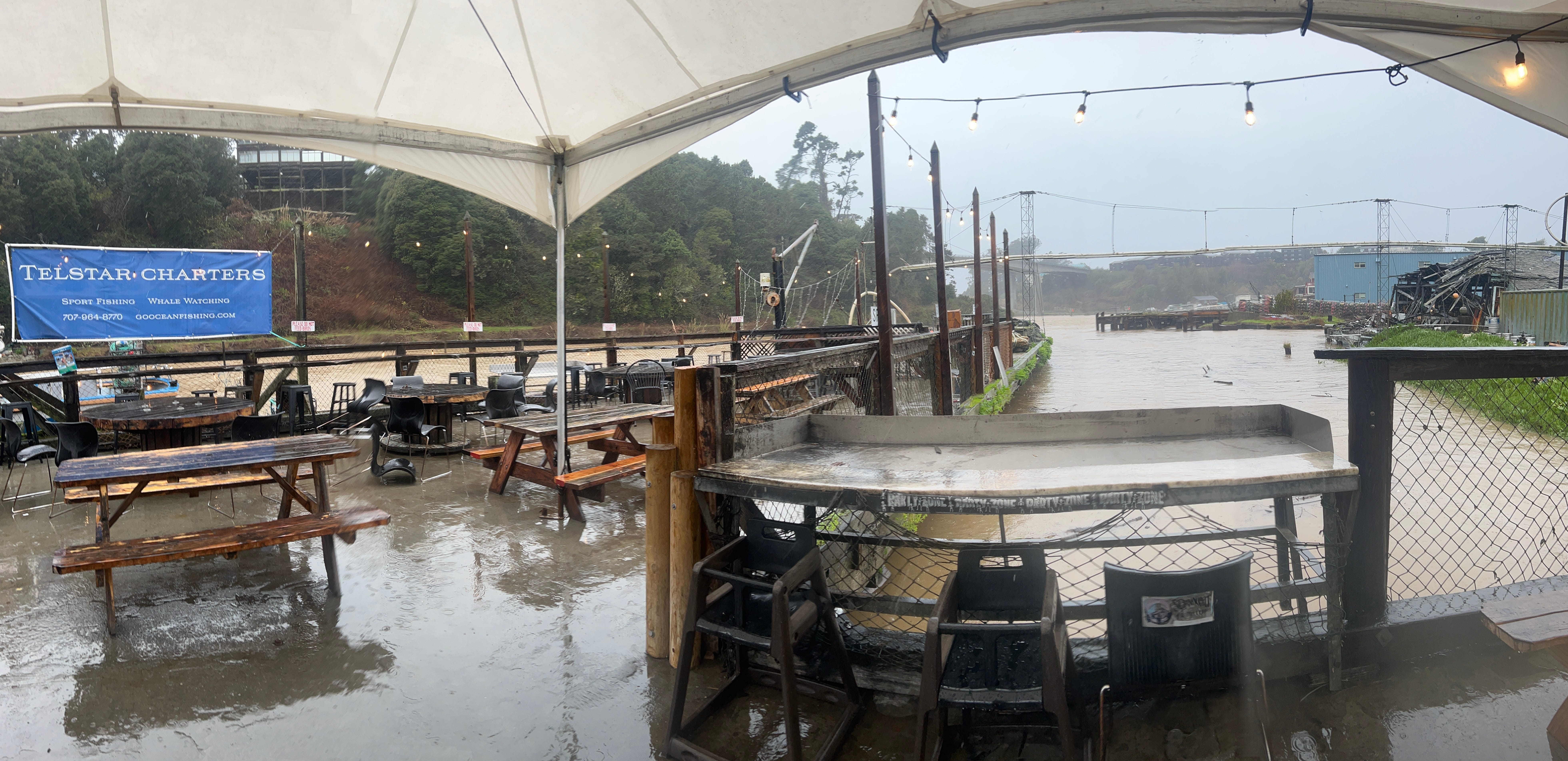
Coastal bluff erosion is identified as the primary driver of residential exposure across most of the county. The report notes that bluffs along the Mendocino coast erode at an average rate of 1.3 feet per year, with some hotspots like Rockport Bay experiencing losses as high as 10.2 feet per year.
“Residential buildings show increasing vulnerability driven primarily by bluff erosion, particularly in Fort Bragg, Mendocino Town, Albion, and Gualala, where homes are located near retreating cliff edges or low-lying floodplains,” the report states.
Mid-Century Jump Draws Concern
Researchers flagged a projected jump between present-day and mid-century conditions as particularly significant. Even in a fairly conservative (not worst-case) scenario, scientists expect about 1 foot of sea level rise by 2050 if greenhouse gas emissions remain moderate to high. With that rise, the number of exposed residential buildings is projected more than quintuples, from 55 to 286.
One foot of sea level rise may sound modest, but its effects are amplified by storm surge and wave runup, which can push water far beyond what tidal flooding alone would suggest.
In lower-lying areas such as the Manchester coastal plain and around Noyo Harbor in Fort Bragg, tidal inundation and storm flooding — rather than bluff erosion — are the dominant hazard drivers.
Broader Risks Beyond Housing
The residential exposure figures represent only one dimension of a broader coastal risk picture. The study assessed vulnerability across four asset categories: critical infrastructure, public access and recreation, habitat and agricultural resources, as well as the built environment, which includes residential buildings.
Wastewater treatment facilities, sections of State Route 1, the California Coastal Trail, and historic landmarks including the Point Cabrillo and Point Arena lighthouses all face increasing exposure under future scenarios.
The report assigned wastewater treatment facilities and public facilities such as schools and government buildings the highest possible risk score, citing their critical function, low adaptive capacity, and fixed locations in low-lying coastal areas.
Demographic Factors
The report notes that Mendocino County’s coastal population includes a disproportionately high share of older adults and lower-income households compared to statewide averages. Median household income in the county is approximately $67,000, well below California’s median of $96,000.
Those demographic factors limit the financial resources many residents would need to adapt to or relocate from hazard areas — a challenge the report acknowledges has no simple solution in a rural coastal county with limited housing alternatives.
“In general, strategies that avoid hazards related to sea level rise, such as relocation or elevation, shall be prioritized,” the report states.
Policy Framework Taking Shape
The study is intended to serve as the technical foundation for developing resilience strategies and updating Mendocino County’s Local Coastal Program, the land use document that governs coastal development and must be certified by the California Coastal Commission.
The analysis is also a warning — it describes the magnitude of what can happen if no action is taken.
The study offers draft baseline policies drawing from the Coastal Commission’s 2021 sea level rise guidance for critical infrastructure and from Sonoma County’s recently updated Local Coastal Program, which was unanimously adopted by its Board of Supervisors in February 2025.
Those model policies include requirements for site-specific hazard assessments, mandatory setbacks from coastal bluffs, restrictions on things like sea walls and deed restrictions notifying future property owners of hazard risks.
The report emphasizes that hard shoreline protection such as seawalls can worsen beach erosion and is not a long-term solution for most residential properties.
Mendocino County has not yet adopted updated coastal hazard policies. The resilience strategy, including community engagement and adaptation planning, is ongoing.
Great Writing. Making a very complex issues. A very easy read. Bet it gets a lot of people thinking about the new and future normals.
More minds than that have already been lost. Sheez.