

How Toxic is the Fort Bragg Mill Site?
A comprehensive review of existing records of testing and remediation reveals data gaps

Editor’s note: See corrections and clarifications below (May 9, 2026 7:22 a.m.)
Fort Bragg residents packed Town Hall on Thursday evening to confront a question that has lingered for decades: How toxic is the former Georgia-Pacific mill site? Steffany Aguilar, a technical consultant hired by the community-led Project HERE, presented a comprehensive review of the 420-acre property’s environmental history, identifying critical “data gaps” and revealing new findings from a citizen science study on local marine life.
While much of the site has been granted “No Further Action” status by regulators, Aguilar warned that the picture remains incomplete. “My main goal is ... to provide education on the site,” Aguilar told the crowd, noting that her work was funded by a technical assistance grant (TAG) from the California Department of Toxic Substances Control (DTSC) specifically to benefit the public rather than the landowner, city or other municipal jurisdiction.
A century of contamination
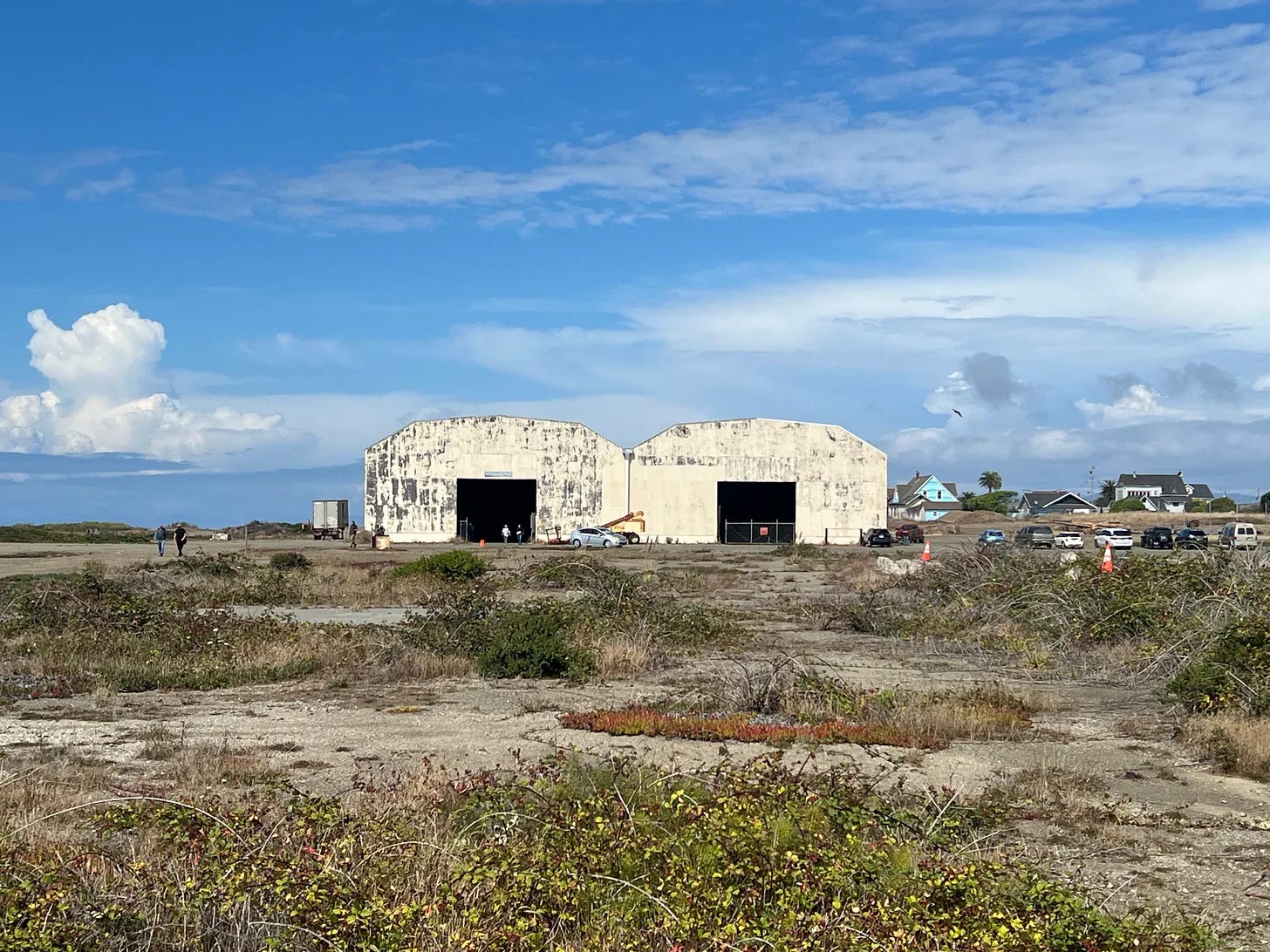
The mill site operated from 1885 until 2002, a period spanning over a century with little to no environmental regulation for the first 90 years. Aguilar detailed how decades of industrial use—including sawmills, a power plant, and wastewater ponds—left behind a legacy of petroleum, heavy metals like lead and arsenic, and “forever chemicals” such as dioxins and PCBs.
She said these contaminants are particularly “sticky,” meaning they cling to soil and sediment rather than breaking down in water. In humans, the half-life of dioxins can range from 7 to 15 years, while in oxygen-deprived sediments, they can persist for nearly a century.

Cleanup vs. restriction
Aguilar clarified what “cleanup” actually looks like at the site. While over 4,000 tons of contaminated soil have been excavated and hauled away, significant portions of the site are managed through Land Use Covenants (LUCs) that govern how areas that cannot be cleaned up to threshold levels can be safely used. These legal restrictions stay with the property deed and limit how the land can be used.
For example, Operational Unit A—where the coastal trail is located—is restricted to recreational use only. Aguilar noted that “unrestricted use” (soil clean enough for any purpose, including gardening) is often not feasible for industrial sites of this scale. In some areas, groundwater remains contaminated, meaning any future gardening would likely have to be done in containers to prevent roots from reaching toxic plumes.
Critical data gaps
A significant portion of the presentation focused on what is not known. Aguilar identified several “data gaps,” including:
Dam Stability: The dam at Pond 8, constructed in 1885, may undergo “large deformations” during a major earthquake.
Testing Equipment: The equipment used in 2007 was not sensitive enough to detect low concentrations of toxins. These “non-detects” were recorded as zero, which Aguilar argued was misleading.
Averaging” of Hotspots in Pond 8: During the Town Hall, it was noted that findings from highly toxic “hotspots” in Pond 8 (Operational Unit E) were averaged with samples from cleaner areas. This statistical averaging may have resulted in an overall toxicity level that appears lower than the actual risk posed by the most contaminated sections of the pond.
Climate Risks: Future sea level rise and tsunami hazards could potentially reach contaminated areas like Operational Unit E which remains the last unit without a final cleanup certification.
Offshore Sediment Sampling Limitations: A major gap was identified in the data used to determine if toxins had migrated into the ocean. Only one offshore sediment sampling event has occurred, back in 2007
Historical Limits: Because the site is so old, there are no records or living witnesses for the first several decades of operation, leaving potential “hotspots” uninvestigated.
Mussels show elevated toxin levels
Perhaps the most striking part of the evening were the results of “citizen science” testing conducted on local mussels. Project HERE collected mussels from Soldier Bay, adjacent to the mill site, and compared them to a reference point at Bruhel Point, 11 miles north.
The results showed that mussels near the mill site contained three to four times the concentration of PCBs found at the reference site. Some samples exceeded EPA screening levels for monthly fish consumption. While Aguilar acknowledged that these findings do not prove the mill site is the sole source of the toxins—noting the proximity of the Noyo Harbor—the data suggests that toxins can accumulate in the local food chain through biomagnification and that more research is desirable.
The “most dangerous” area
Mayor Jason Godeke and Councilmember Lindy Peters attended the talk. Peters, especially, engaged the consultant with questions and observations. Peters acknowledged that the remediation work done so far has produced “good results” in certain areas. But he also noted the “irony” that the community had once dreamed of turning the specific area of Pond 8 into a “gem” of a park with wildlife, only to discover it is likely the most dangerous part of the site.
For those wishing to see the site firsthand, a public site walk is scheduled for Saturday at 12:30 p.m., beginning at the Alder Street entrance to the coastal trail.
Corrections and Clarifications:
Mussels were collected at Bruhel Point, also known as The Fingers, not Bell Point as originally reported. Also the story has been edited to make it clear that Technical Assistance Grants are designed to support projects that are independent of landowners or controlling governments. The story was also edited to better explain Land Use Covenants, which govern how parts of the site that can not be cleaned up to threshold levels of safety can be safely used for certain purposes. Finally, the findings from the mussel tests were adjusted to reflect the group’s perspective that additional research is desirable to determine the levels of contamination. While it is technically accurate that the mussels “biomagnify” PCBs as they are filter-feeding phytoplankton and zooplankton, it is not responsible to extrapolate findings from the limited testing of a single organism up the food chain.
Read MendoLocal.News’ coverage of Mendocino Railway and the mill site dispute:
Federal Rail Rulings Stack Up Against State Regulators in Fort Bragg Mill Site Dispute
Federal Railroad Board Blocks Great Redwood Trail Abandonment Motion
Skunk Train Chief Details Freight Operations, Federal Oversight Amid Eminent Domain Dispute
California Appeals Court Says Public Utilities Need Not Serve Active Customers
Should the Skunk Train be Part of the Regional Transporation Plan?
California AG Bonta Challenges Mendocino Railway’s Federal Carrier Status
Mendocino Railway Rejects Fort Bragg’s Bid for Yearlong Pause in Litigation
Fort Bragg Plans Public Study Session, Website to Boost Transparency on Mill Site Development
Skunk Train, Fort Bragg Jointly Agree to Set Aside Default in Mill Site Suit
U.S. Supreme Court denies Skunk Train appeal
Federal Railway Agency Affirms Mendocino Railway’s Carrier Status
Default Notice Issued as Stormwater Contamination Battle with Fort Bragg Escalates
Meanwhile the City Manager and Council wasted over a $100,000 on pursuing commercial and residential development jointly with the mill site’s owners Mendocino Railway; on land contaminated with life threatening toxins and heavy metal poisons. PS - development according to the city’s own economic consultants would require millions in additional expenditures for city improvements for new roads, water and sewage treatment infrastructure, sidewalks, police and fire service. While at the same time, over 50 acres of already zoned residential and commercial land already improved with roads/water/sewer/etc, in the city remains available to build on. Remember this when you go to the polls at next November’s City Council election and you find yourself hard pressed to pay your monthly bills. Taxpayers should revolt!
I heard through the grapevine they had said in a proposal they were going to have Paul Stamets use mushrooms to help clean up the area. Someone I know saw him in peraon and asked him if he ever did and he said no one ever got him out there to do it.